Close menu
- Home
- News
- Finance
- Analysis
- Insight
- Markets
- Legal
- People
- Events
- Jobs
Digital public land identification tool launched
By Helen Crane2017-10-18T16:35:00

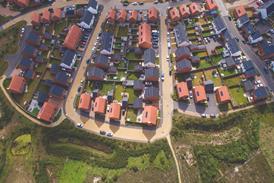
Source: Shutterstock/LittleRedDragon
A digital tool which aims to speed up the planning process by helping to identify public land for development has been launched today, as part of a Department for Communities and Local Government pilot.
This content is only available to registered users
You must be logged in to continue

Would you like to read more?
Try Property Week For Free to finish this article.
Sign up now for the following benefits:
- Unlimited access to Property Week
- Breaking news, comment and analysis from industry experts as it happens
- Choose from our portfolio of email newsletters
To access this article TRY FOR FREE NOW
Don’t want full access? REGISTER NOW to read this article and up to 3 more this month and subscribe to our newsletters.
Registered users and subscribers SIGN IN here to continue
Join the Property Week community through our social media channels
- Like our page on Facebook
- Follow us on Twitter
- Connect with us on LinkedIn
- Watch PWTV on Youtube
- Subscribe to our RSS feed
- © 2023 Metropolis International Group
- Previous Issues
- A-Z Subjects
- A-Z Contributors
Site powered by Webvision Cloud


